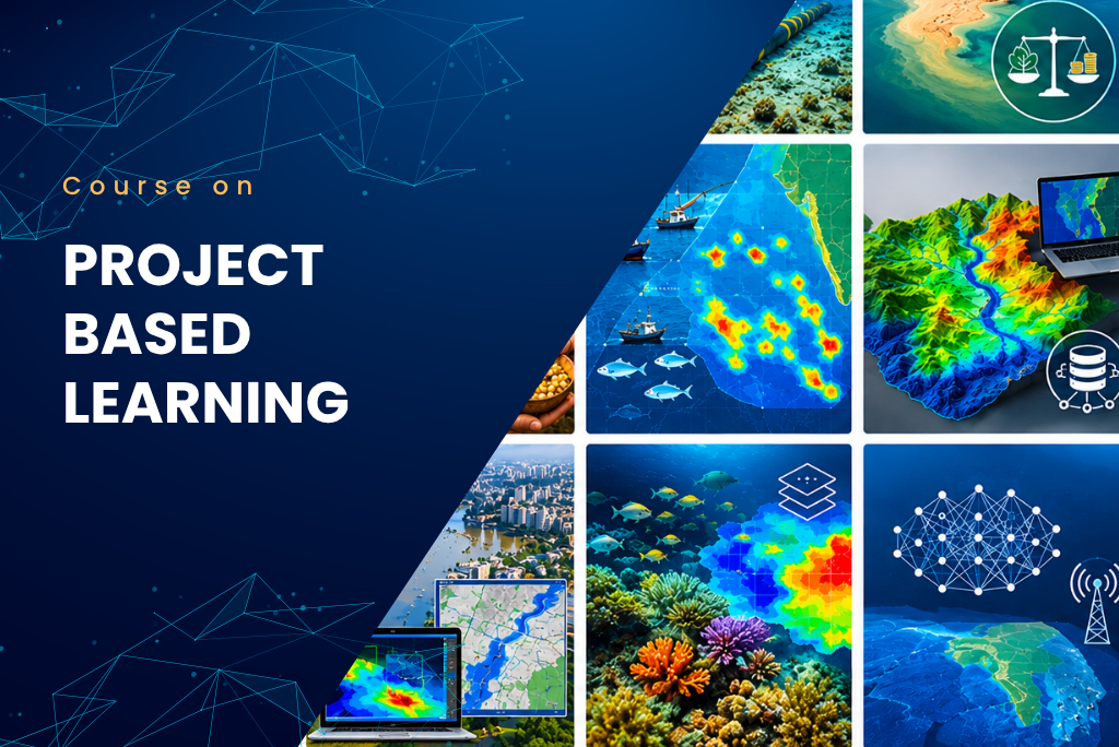
Project Based Learning
Categories: UDA Framework
Wishlist Share
Share Course
Page Link
Share On Social Media

What Will You Learn?

  • Acoustic (Ultrasonic) Antifouling on Ship Hulls in Tropical Regions
  • Sediment Transport Modelling for Ujjani Reservoir
  • Safeguarding Undersea Cables for India’s Strategic Security -
  • Sediment Transport Modelling for Brahmaputra River
  • Silt Management Policy for River-Coastal Systems: A UDA-Based Economic and Environmental Valuation
  • Potential Fishing Zones
  • APY Analysis for Tuna Fishing along the Andaman and Nicobar coast
  • Modelling and Simulation Framework for Brahmaputra Region
  • Modelling and Simulation Framework for Konkan Coast
  • Indigenous Knowledge Systems and UDA
  • NCLOS and UDA
  • IORA and UDA
  • Strategic security issues in north east India
  • MSP framework based on UDA
  • UDA based governance framework for the Brahmaputra Basin.
  • Blue economy accounting
  • Urban Flood Mapping Basics, Applications & HEC-RAS Modeling
  • Habitat Suitability Model
  • Neural Network for Estimation of transmission loss in Indian Ocean Region
  • Understanding Dark ship detection using SAR Imagery in the Indian Ocean

Course Content

Acoustic (Ultrasonic) Antifouling on Ship Hulls in Tropical Regions

  • Understanding Biofouling in Tropical Marine Environments
    08:13
  • Check Your Understanding
  • Methodology- Digital Monitoring & CFD Modeling for Biofouling
    09:23
  • Check Your Understanding
  • Outcomes, Benefits & Future Directions
    09:01
  • Check Your Understanding
  • Study Material

Safeguarding Undersea Cables for India’s Strategic Security

Silt Management Policy for River-Coastal Systems: A UDA-Based Economic and Environmental Valuation

Sediment Transport Modelling for Ujjani Reservoir

Sediment Transport Modelling for Brahmaputra River

Indigenous Knowledge Systems and UDA

Potential Fishing Zones

Modelling and Simulation Framework for Brahmaputra Region

Modelling and Simulation Framework for Konkan Coast

Blue economy accounting

Urban Flood Mapping Basics, Applications & HEC-RAS Modeling

Habitat Suitability Model

Neural Network for Estimation of transmission loss in Indian Ocean Region

Understanding Dark ship detection using SAR Imagery in the Indian Ocean

Open Pond Aquaculture Demographics Mapping using computer Vision and Satellite Images

Want to receive push notifications for all major on-site activities?

✕